Information About Paddling the Duck River
Over 70 miles of the Duck River flow from east to west in Maury County and there are nine public access points to the Duck River. The numerous access points give the people of Maury County and visitors amazing access to this wonderful river. These ramps are managed by either Maury County or the Tennessee Wildlife Resource Agency (TWRA). In addition to the Duck River, there are numerous other rivers in Middle Tennessee that are places to paddle.
The Duck River generally flows from east to west. The access points below start on the eastern edge of the county and are listed in the direction the river flows.
Below is an interactive map of the access points in Maury County, a brief description of the access point and where the next take out is located.
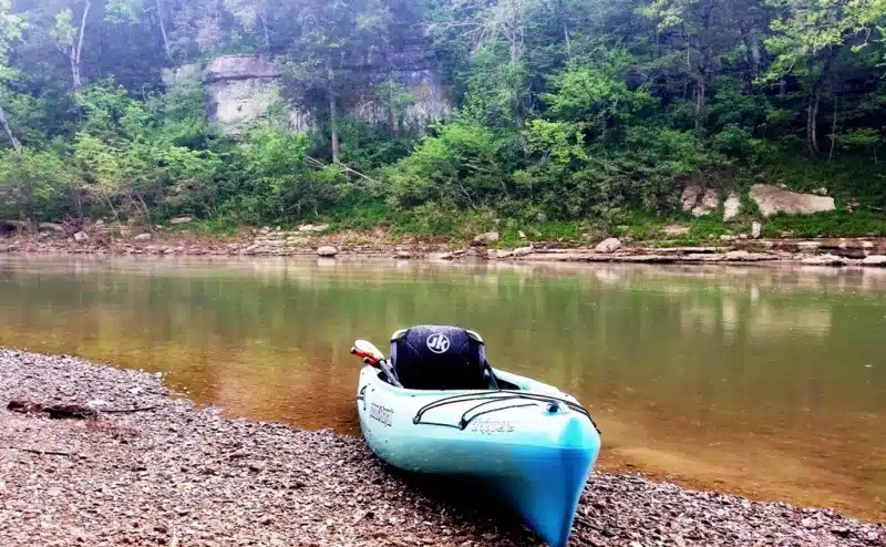
Paddling on the Duck River in Maury County
There is a dam in downtown Columbia, so you cannot paddle from the Iron Bridge access point to the Riverside access point in the downtown.
Description of Access Points in Maury County
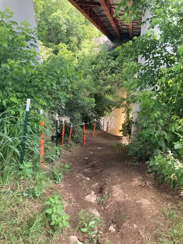
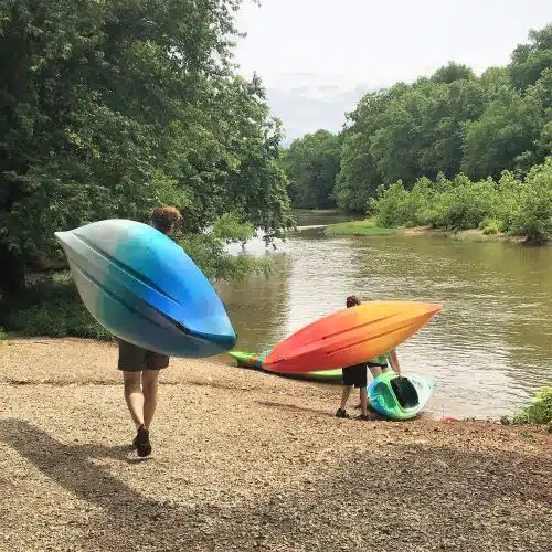
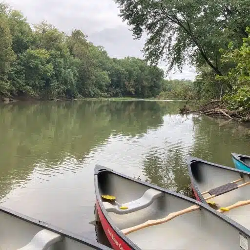
The following access points are listed from the eastern edge of Maury County and go downstream. These are all public access points that are managed by the Tennessee Wildlife Resource Agency (TWRA) or Maury County. When paddling on the Duck River, always respect private property, do not litter, and do not block the access ramps. Access points are for active loading and unloading only. If you arrive at the ramp and are not ready to load your boats, please pull your boats to the side so others may use the access point while you are waiting for your vehicle to arrive.
Hwy 431 Access Point (Hardison Mill) to Carpenter Bridge
Description of Route: This route launches on the right side of the river from Highway 431 at Hardison Mill. Just after you launch there is a set of rapids from an old mill site. You can carry around the rapids on the right. About a mile from the end is the water intake for Spring Hill. There is a sign warning you to stay to the left. When the intake purges air from the system it can shoot up into the air. The only bridge on the route is the take-out at Carpenter’s Bridge.
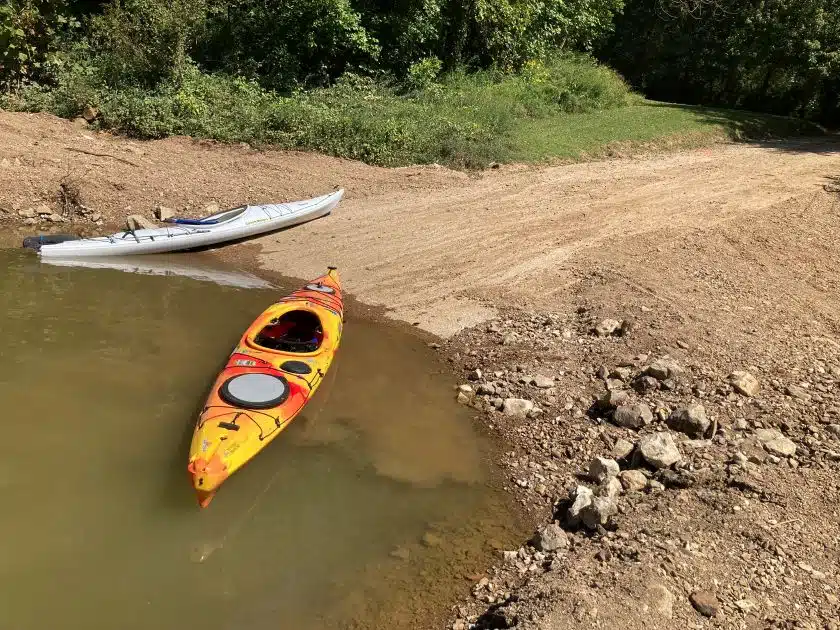
Description of Access Point: The access point at Hwy 431 (Hardison Mill) is not maintained well and is difficult to launch from. The take-out at Carpenter Bridge is a set of steps that will be just past the bridge on the right side of the river. This access is not suitable to launch a power boat. There is limited parking.
USGS Gage to check river levels: Duck River above Milltown
Carpenter Bridge to Leftwich Bridge
Description of Route: This route is remote and has very few houses or roads. This section of the river is narrower and tends to develop obstructions after storms or high-water events. If you paddle this route, look ahead for hazards. This route is appropriate for experienced paddlers. This route does not have good landmarks to track your progress, but a 1/4 mile from the end you will come to an old bridge. The take-out is on the right before the second bridge.
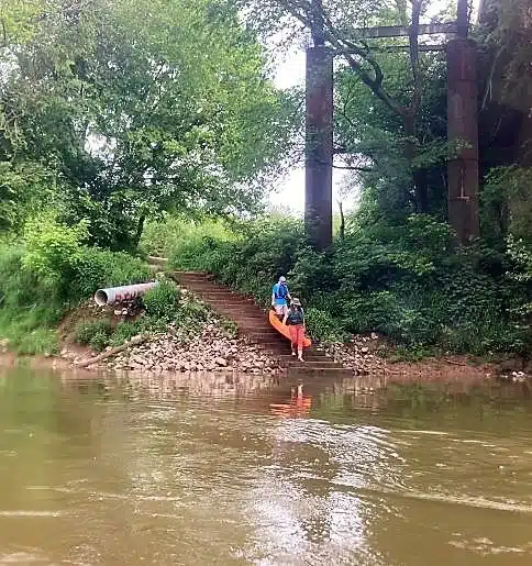
Description of Access Point: The access point at Carpenter Bridge is a set of steps to the water. This access is not suitable to launch a power boat. There is limited parking at the top of the hill.
USGS Gage to check river levels: Duck River at Mile 156 near Pottsville This gauge is downstream of Carpenter Bridge but should still provide a good indication of the water conditions.
Leftwich Bridge to Howards Bridge
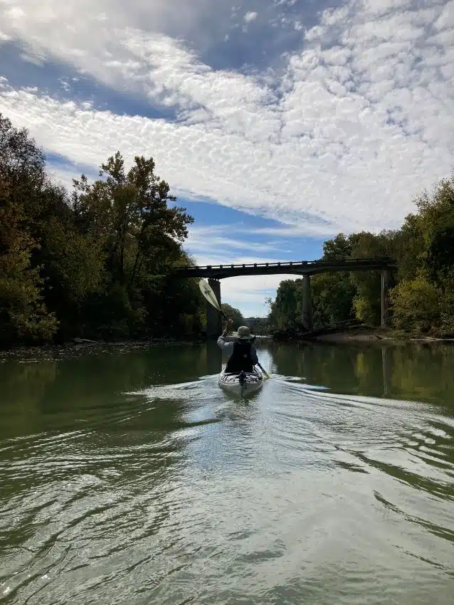
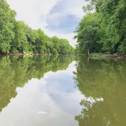
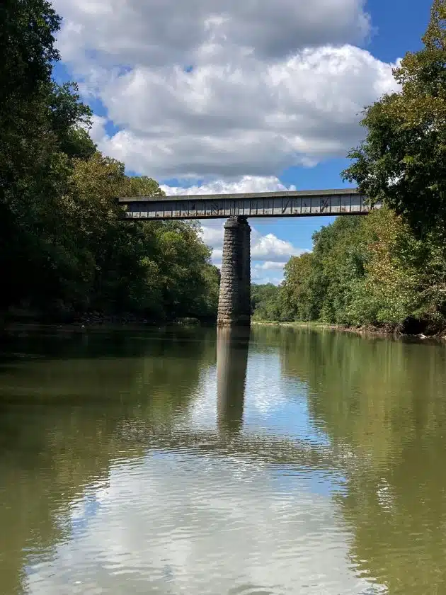
Description of Route: This route follows cheeks bend and flows through the Yanahli Wildlife Management area. Most of this route flows through public land so there are very few houses or roads along the river. When you reach the first bridge (Interstate 65) you are one mile from the take-out.
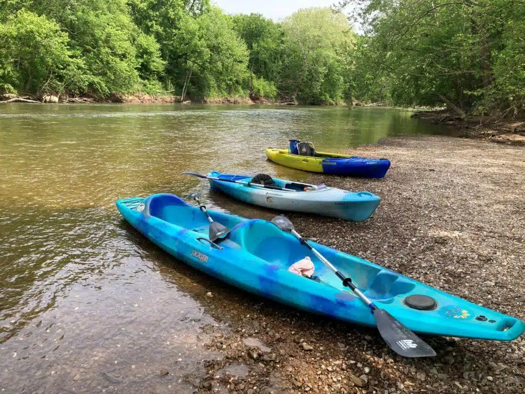
Description of Access Point: The access point at Leftwich Bridge (also known as Sowell Mill Bridge) is a gravel access area with access to the river from the left and right of the access point. There is limited parking available. It is difficult to launch a power boat from this access area because of the gravel, mud and drop off to the river.
USGS Gage to check river levels: Duck River at Mile 156 near Pottsville
Howards Bridge to Fountain Creek
Description of Route: This route is still very remote with very few houses or roads nearby. There are a couple of swifter spots where there is an old mill site or where the river narrows. Immediately after you launch on the right side you will see the spring cave. Your next feature is the old mill site. This is where the river gets more narrow and swifter about a mile into your trip. The take out for this section is easy to miss. You will see a large creek on the left side (Fountain Creek). Also on the left side is a gravel bar and a dirt trail heading up the hill to the Fountain Creek Parking area.
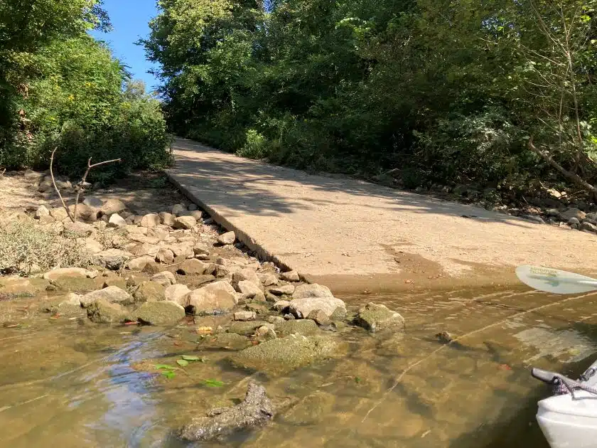
Description of Access Point: The access point at Howard’s Bridge is a gravel parking lot and a concrete boat ramp. The takeout at Fountain Creek is a dirt trail up the hill to the parking area. The Fountain Creek access point is difficult to find. Directions to Fountain Creek: From Hwy 50 turn onto Blue Springs Rd (across from Duck River Electric), then turn left after you cross an old bridge over the creek (just past Rodgers Group Quarry). This is lead you about a 1 1/2 miles down a chert road. The parking lot is at the end of the road. Typically, there is no cell service at Fountain Creek.
USGS Gage to check river levels: Duck River at Mile 156 near Pottsville
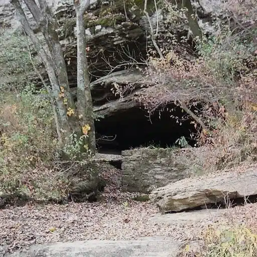
Spring Cave 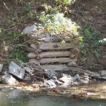
Wallace Mill Remnants 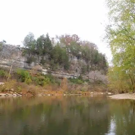
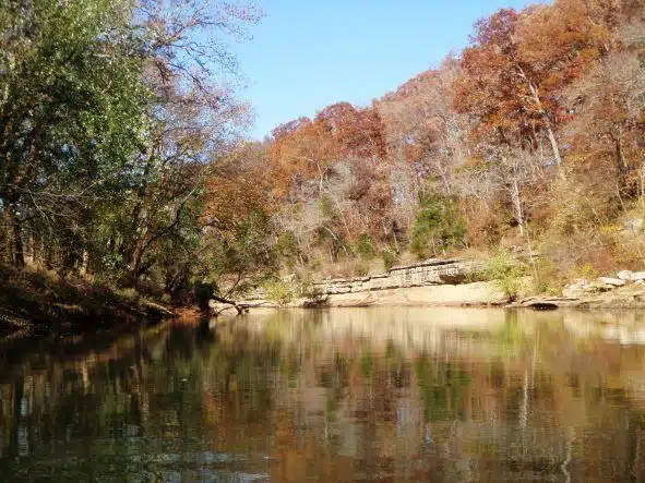
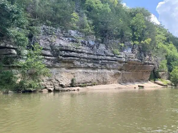
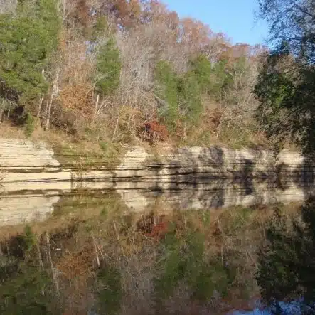
Bluffs along Duck River 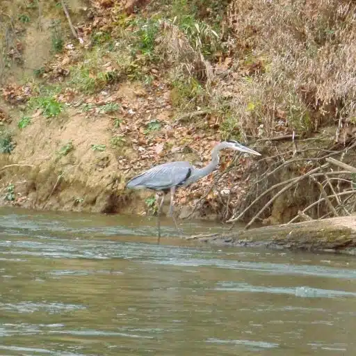
Great Blue Heron 
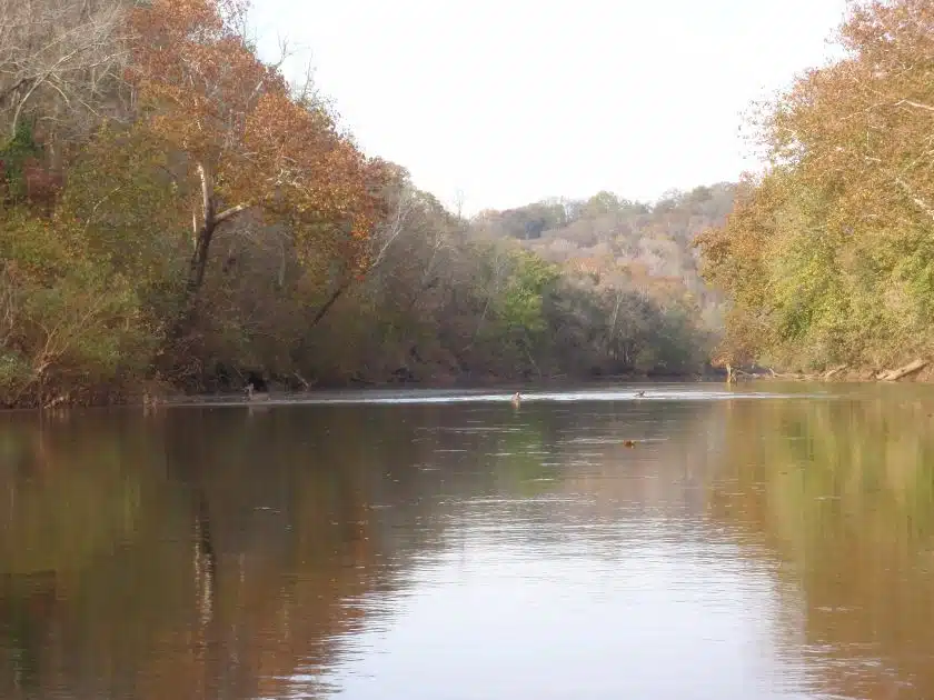
Beautiful hills
Fountain Creek to Iron Bridge
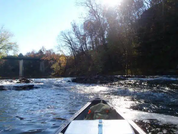
Description of Route: After a couple of miles, this section of the river becomes very slow and deep due to the low-head dam in Columbia. At 4.5 miles from the end you will see an old bridge (Old Sowell Mill Pike). This last four miles is heavily traveled by power boats especially on the weekend. The takeout is on the left side before the second bridge and is a large concrete boat ramp.
Description of Access Point: Fountain creek is only suitable to launch canoes and kayaks from since there is only a trail leading to the river. See the previous description for directions to Fountain Creek. Iron Bridge Access point is a large concrete boat ramp with good parking.
USGS Gage to check river levels: Duck River at Mile 156 near Pottsville
Rock Cliffs on Ironbridge Route 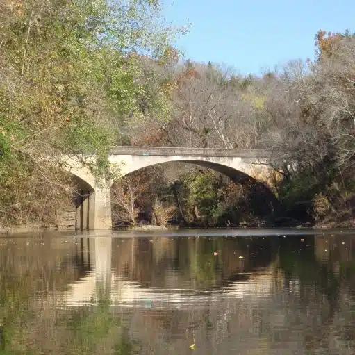
Old Bridge (Old Sowell Mill Pike) 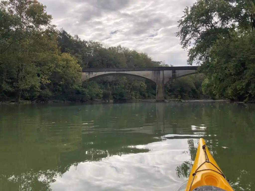
Old Sowell Mill Bridge
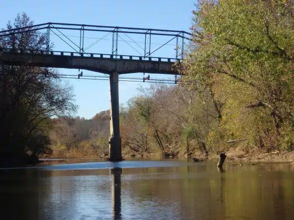
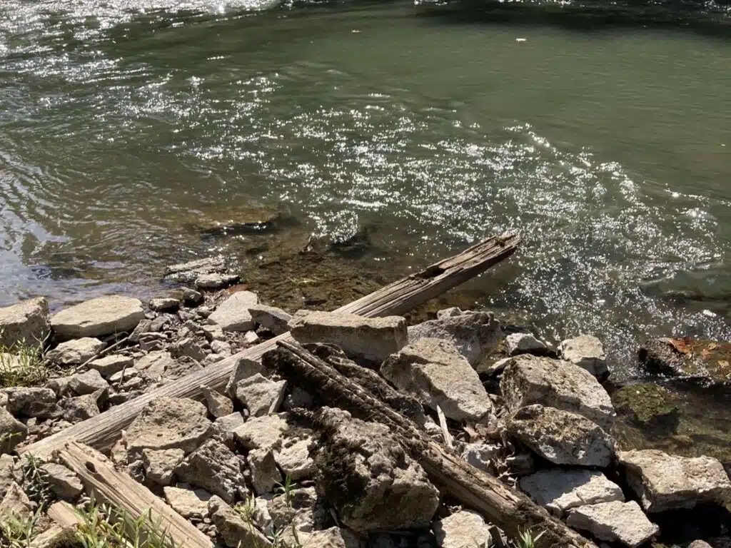
Iron Bridge
Description: At Iron Bridge Access Point, it is possible to paddle upstream several miles and return to Iron Bridge if the water level is low enough. Just upstream there is a narrow cut in the rock that can be challenging to paddle past. You can also paddle downstream and return to Iron Bridge but be very cautious. There is the Columbia Dam (which is a low head dam) that is located 3.5 miles downstream of Iron Bridge. If you paddle downstream turn around at the first set of bridges
Extremely Hazardous Dam: UNDER NO CIRCUMSTANCES SHOULD ANYONE ATTEMPT TO PADDLE OVER THE DAM, FISH NEAR THE DAM, OR BRING THEIR CANOE/KAYAK ANYWHERE NEAR THE DAM. IF YOU GO OVER THE DAM, IT WILL LIKELY LEAD TO DEATH.
USGS Gage to check river levels: Duck River at Columbia
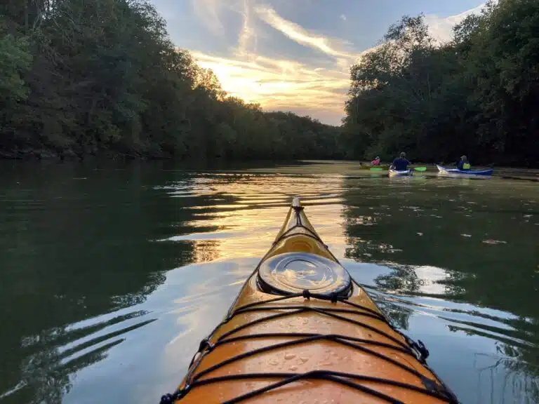
Paddling back to Iron Bridge 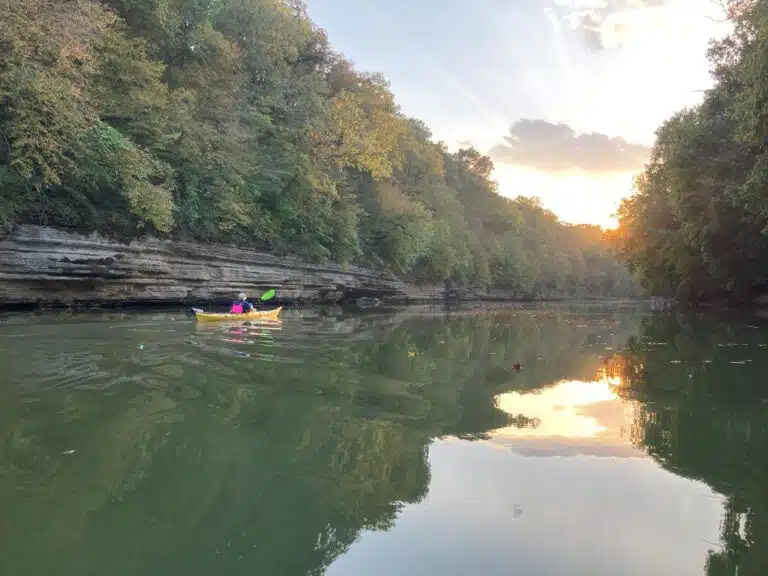
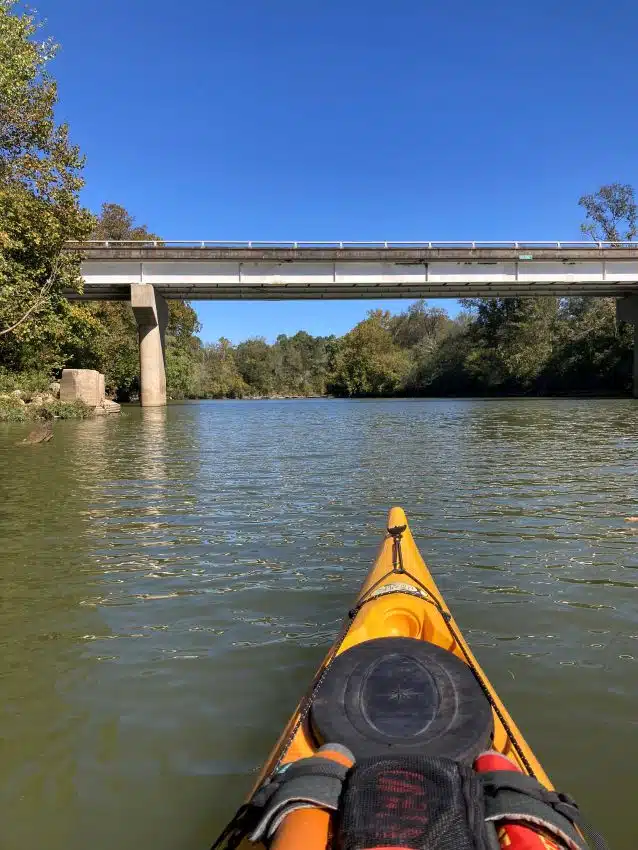
About 3 miles upstream of Iron Bridge Approaching Iron Bridge 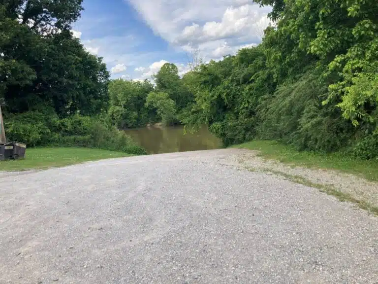
View of Iron Bridge Ramp Old Bridge (Old Sowell Mill Pike)
Riverside Access Point to Chickasaw Park
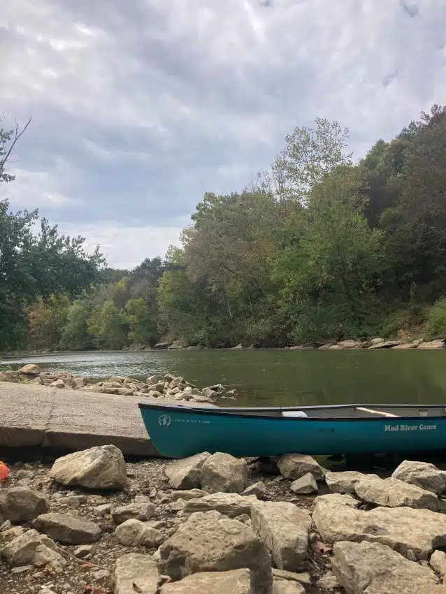
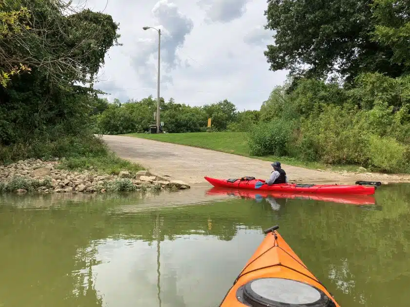
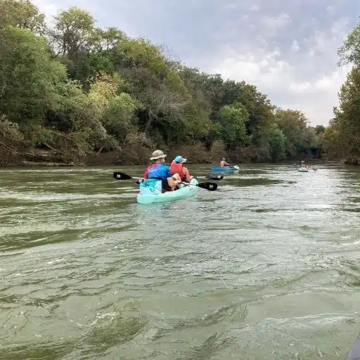
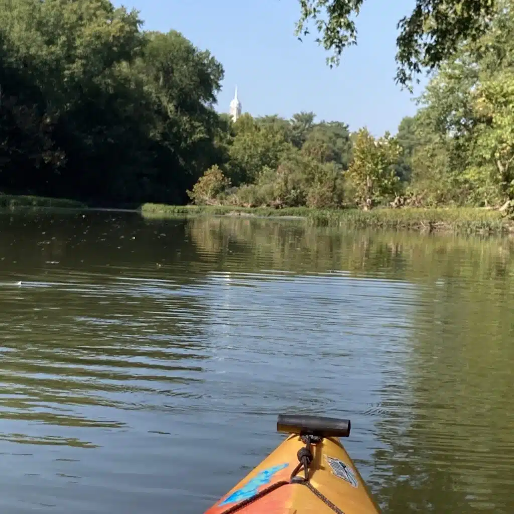
Description of Route: This section of the Duck River flows through downtown Columbia. At the beginning of your trip, you will see old bridge piers, have views of the Columbia courthouse, and see the riverwalk park. During your 8.4 mile paddle you will go under four bridges. At the third bridge is Rutherford Creek. This is a beautiful little creek if the water level allows you to paddle into the creek. This section of the river does flow past a more industrial area. The take out is on the right at Chickasaw County Park (park closes at dark so plan ahead). It is a concrete boat ramp and parking is just up the road from the access point.
Description of Access Point: Riverside and Chickasaw have limited parking for trailers and vehicles. Both access points are a concrete boat ramp.
USGS Gage to check river levels: Duck River at Columbia
Chickasaw Trace Park to Williamsport Bridge
Description of Route: The Chickasaw to Williamsport section of the river is not paddled very often due to the length of the trip. At just over eleven miles this trip will take all day to paddle. You will pass under two bridges and stop at the third bridge (Williamsport).
Description of Access Point: Chickasaw Access Point is a concrete boat ramp with parking just up the road. The park closes at dark, so you need to plan enough time to paddle and return for a vehicle. The Williamsport Bridge access point is all gravel and is difficult to launch a powerboat from. There is limited parking at the Williamsport Bridge Access point.
USGS Gage to check river levels: Duck River at Columbia
Williamsport Bridge to Littlelot
Description of Route: The Williamsport Bridge access is on the western edge of Maury County. This section of river is not paddled by kayakers or canoeist very often because the distance of the trip is too long for a single day of paddling for the average paddler.
Description of Access Point: The Williamsport Bridge access point is all gravel and is difficult to launch a powerboat from. There is limited parking at the Williamsport Bridge Access point.
USGS Gage to check river levels: Duck River at Columbia